All Resources
Rugged Terrain
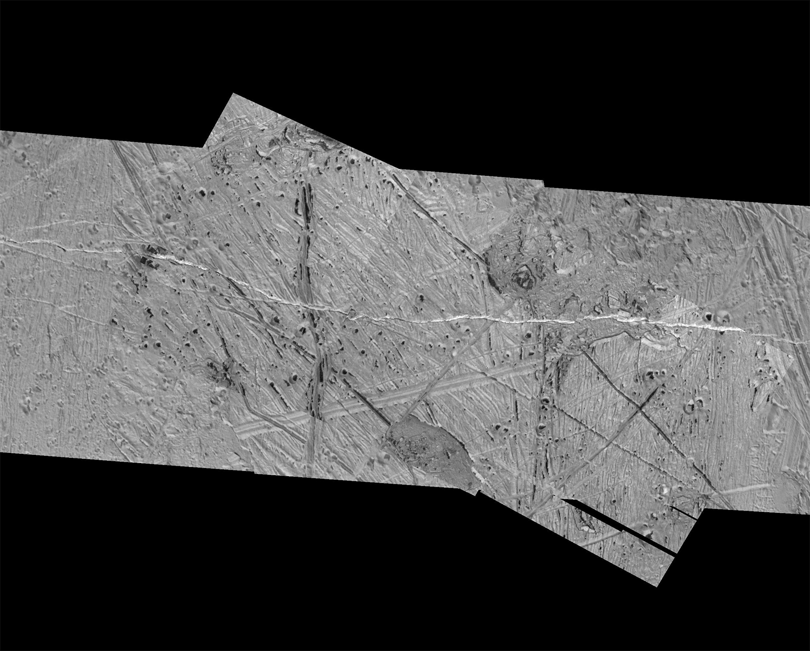
This mosaic of an area just southeast of the multi-ring impact structure called Tyre combines two sets of images taken by NASA's Galileo spacecraft. Features in this area include pits, plains and regions of chaotic terrain. The circular to oval shaped pits that contain dark material are secondary craters formed by debris from the Tyre impact. The origin of the dark material is uncertain.
North is to the top of the image and the sun illuminates the surface from the left. The image is in an orthographic projection, centered at 13 degrees north latitude and 110 degrees west longitude, and covers an area approximately 28 by 40 miles (45 by 64 kilometers). The resolution is about 100 feet (30 meters) across.
The images were taken on May 31, 1998 at a range of approximately 2,625 miles (4,200 kilometers) by the Solid State Imaging (SSI) system on NASA's Galileo spacecraft.
See NASA's Planetary Photojournal for the original caption released with this image.