All Resources
Europa: Voyager to Galileo Comparison
Source:
NASA/JPL-Caltech
Published:
January 7, 2019
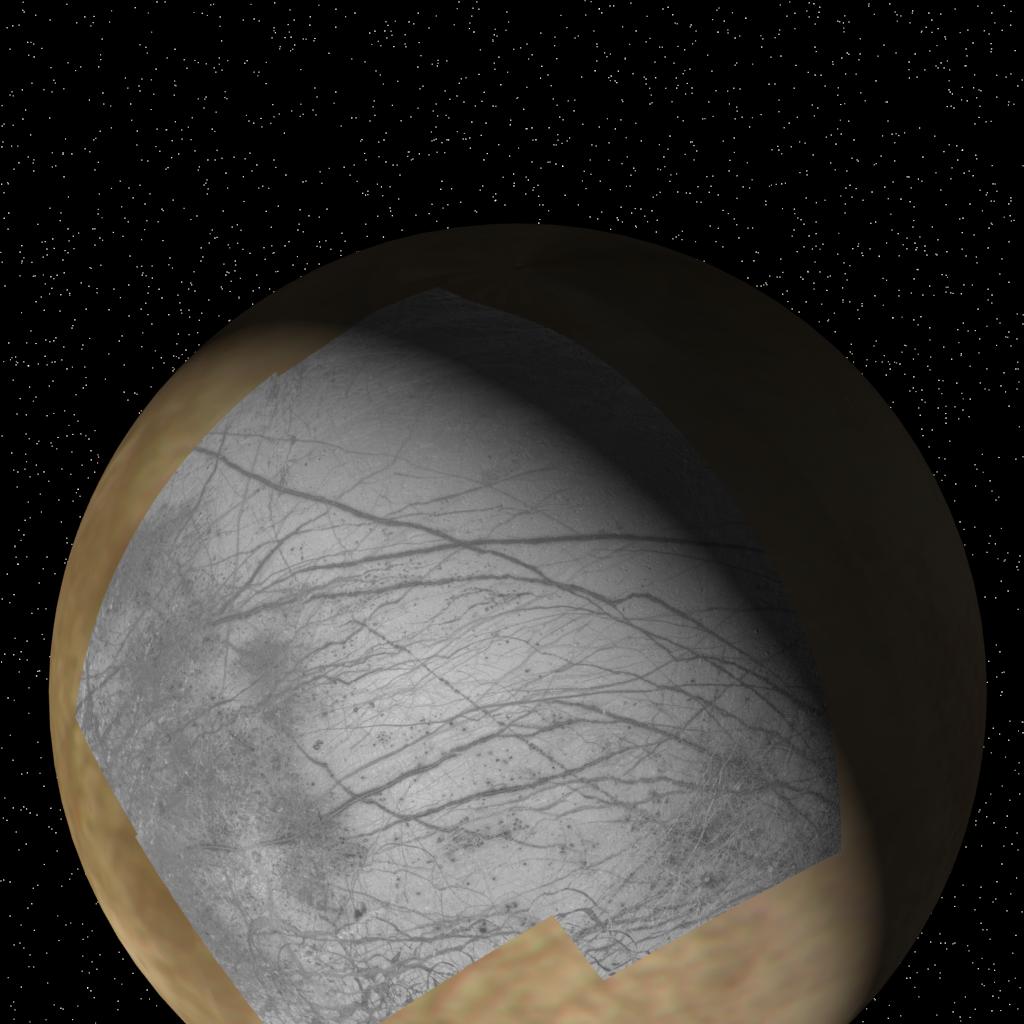
This global view of Europa shows the location of a four-frame mosaic of images taken by NASA's Galileo spacecraft, set into low-resolution data obtained by the Voyager spacecraft in 1979.
Putting new data into its surrounding context is a technique that allows scientists to better understand features observed on planetary surfaces.
The Galileo spacecraft obtained these images during its first orbit of Jupiter at a distance of 96,300 miles (156,000 kilometers) on June 27, 1996. The finest details that can discerned in this picture are about 1 mile (1.6 kilometers) across. North is to the top.